

 VANCOUVER, B.C., Canada - First Nations on British Columbia's North Coast are appealing for help after an oily slick believed to be linked to a long-sunken U.S. military transport ship appeared on local waters.
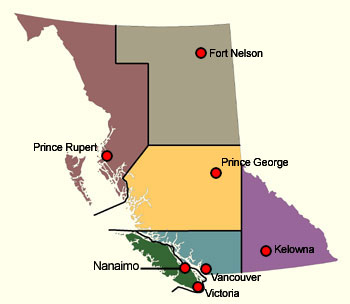
The Gitga'at Nation of Hartley Bay announced Tuesday that a commercial pilot has reported a fuel slick about 60 metres wide and between 3.2 and eight kilometres long in Grenville Channel, south of Prince Rupert.
The area is the final resting place of the U.S. army vessel Brigadier General M.G. Zalinski, which sank in September 1946 with munitions and about 700 tonnes of fuel on board.
- "It's definitely from that ship," said Arnold Clifton, chief councillor of the Gitga'at Nation.
- But Department of Fisheries and Oceans spokesman Dan Bate said the leak is "very small," and a Transport Canada flight estimates it's only about 100 millilitres in volume.
- Bate said fuel can have a thin sheen, a rainbow colour and spread out quite a ways on the water.
- In contrast, though, Clifton said a band councillor was directly over the site Tuesday and "bubbles of oil" were rising to the surface.
- The site is in the middle of the nation's territory and almost directly across from an important shellfish bed.
- Clifton said he has noticed fuel on the water near the wreck frequently, but the situation has worsened recently.
- "Something's got to be done," he said, noting the federal government promised to have the site "dealt with" by 2010.
- Clifton said the incident raises questions about whether or not the federal government can guard against oil spills, especially those that could result from increased tanker traffic linked to the Northern Gateway Pipeline.
- "Coast guard environmental response is working on an urgent basis to establish a diving operation to place a temporary patch on the area that's leaking to prevent further pollution," said Bate.
- According to a Fisheries and Oceans's Notice to Mariners, the steel-hulled vessel was 77 metres long and 13 metres wide.
 Resting upside down, the ship is in about 27 metres of water. About 20 metres of water cover the ship.
"Weakness and cracking in the hull are resulting in oil seepage," states the notice. "Mariners are requested not to anchor or fish within 200 metres of the wreck."
South of Grenville Channel, in Wright Sound, rests the wreck of BC Ferries' Queen of the North, which sank March 22, 2006. Proposals to deal with the wreck of the Zalinski have appeared in numerous mid-year reviews and business plans published by the federal agency over the past few years.


Post a Comment